Map Of Mersea Township 1882
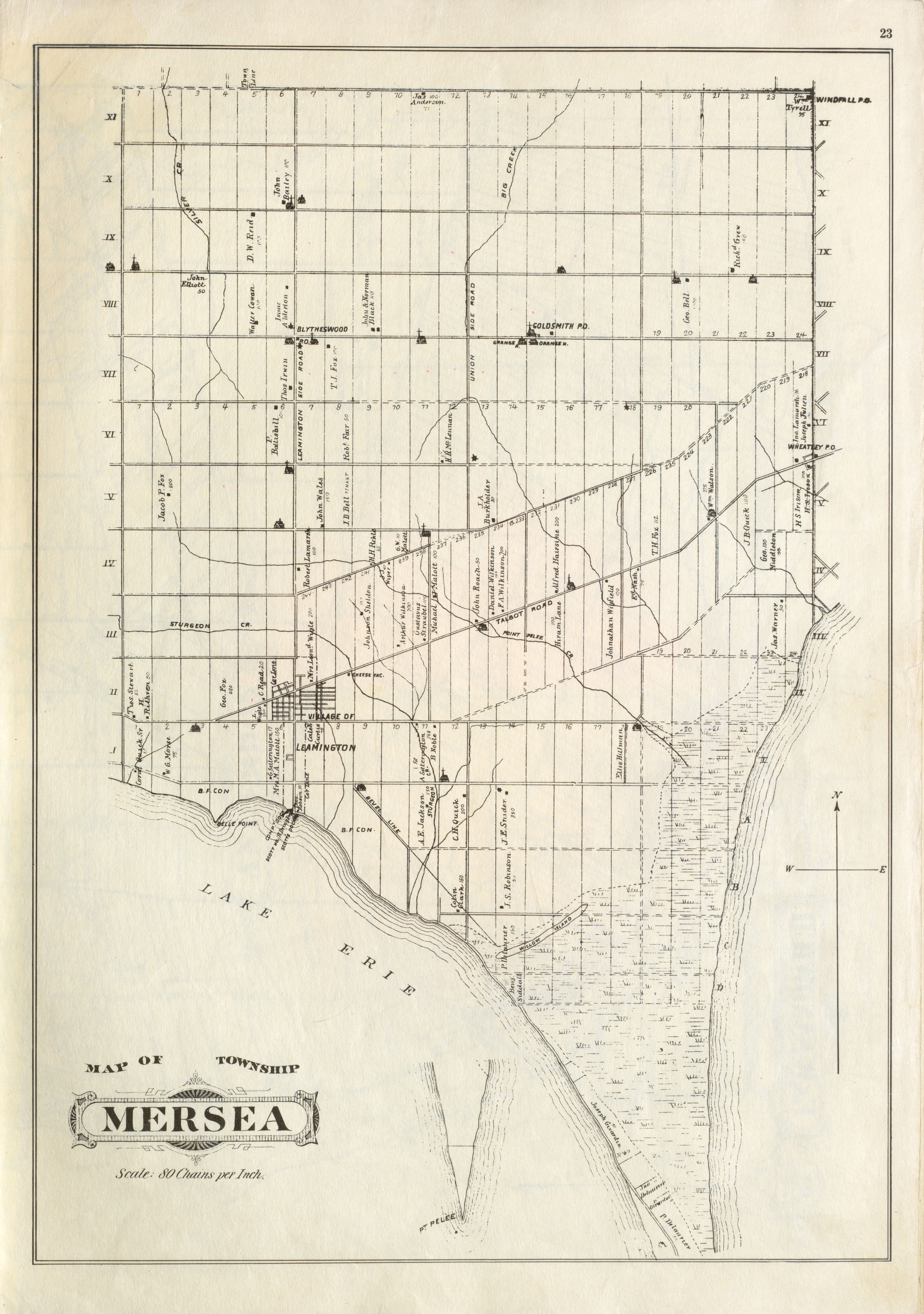 |
| Map Of Mersea Township 1882 |
Year: 1882 |
Publisher: H. Belden And Co. |
Type(s): Map Plan |
Physical Description: b&w; 1973 reprint |
Source: Illustrated Historical Atlas of the Counties of Essex and Kent, 1880-1881. Toronto : H. Belden & Co., [1882]. Page 23 |
Notes: Scale: 80 chains to 1 inch. |
Subject(s): Mersea Township (Essex County) Lake Erie Point Pelee National Park |
Place(s): Essex County (Ontario). Mersea Township Leamington (Ontario) Wheatley (Ontario) |
Rights: Public Domain |
Repository: University of Windsor. Leddy Library |
| Tiff Image(s): Click links to download Tiff images: Tiff Image 1 |