County Of Essex 1879
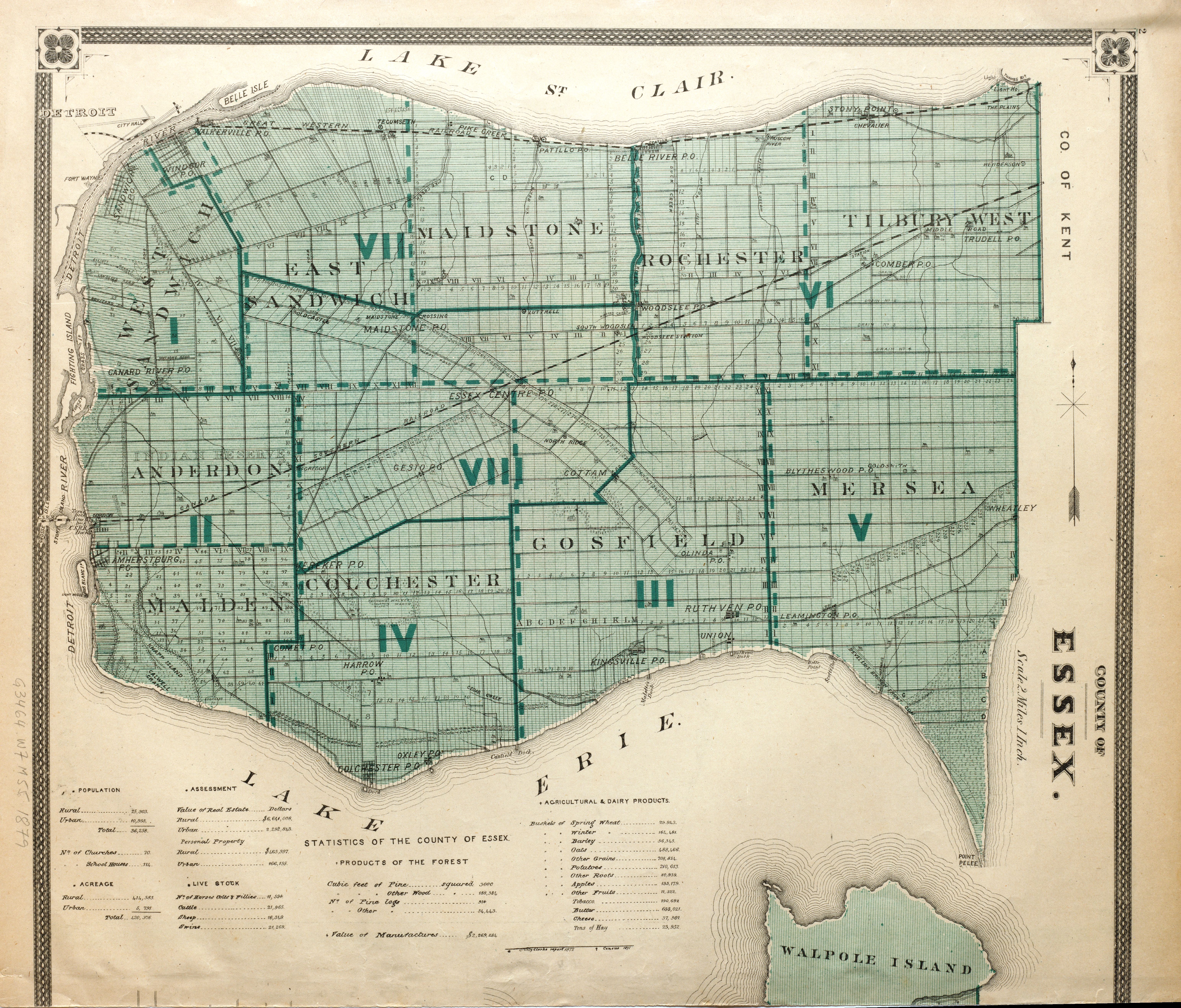 |
| County Of Essex 1879 |
Year: 1879 |
Type(s): Map Plan |
Identifier(s): G3464.W7 1879 M55 |
Language: English |
Source: The New Topographical Atlas of the Province of Ontario, Canada. Toronto, Ont.: Miles And Co., 1879. Map 2 |
Notes: Scale: 2 miles is 1 inch; shows the townships of Essex County; also has statistics for the county; Pelee Island is called Walpole Island, and is totally incorrect in size and shape. |
Subject(s): Essex County (Ontario) |
Place(s): Essex County (Ontario) |
Rights: Public Domain |
Repository: University of Windsor. Leddy Library |
| Tiff Image(s): Click links to download Tiff images: Tiff Image 1 |